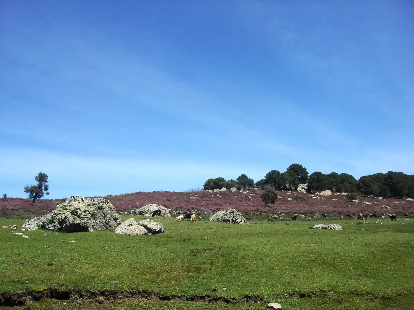

Bouhachem is a dense forest between Tetouan, Chefchaouen and Larache, rich in cork oak, oak and springs. The park spans more than one province: its northern face lies in the Beni Hassan lands of Tetouan, and its southern part in Chefchaouen province.
Tanakoub commune: the southern part
Tanakoub commune is one of the important rural mountain communes of Chefchaouen province and forms the southern part of Bouhachem Nature Park. Its mountain and forest character is striking: mountains make up about 87% of its area, and natural forest covers about 57% of its land.
Jbel Sougna and Leo Africanus
In the southern part of the park lies Jbel Sougna, one of the important natural landmarks of the province. Leo Africanus mentions it in his “Description of Africa” as Jbel Beni Jbara, a sign of this mountain's presence in early geographical writing about northern Morocco.
Beni Leit commune: the northern face
About 50 kilometres south of Tetouan lies Beni Leit commune, a mountain commune of the Beni Hassan caidat. Its land is natural and heavily forested, tied to the mountain face of Bouhachem. For the rest of the tribe's lands: the Beni Hassan, tribe of the high peaks.
Walking in Bouhachem
The route led by mountain guide Imad Ben Yahya in Bouhachem is a loop of about 11 kilometres with about 450 metres of ascent, taking about 4.5 hours, through the cork oak forest to a spring, then back through another hamlet. It is of moderate difficulty, suited to people with a little experience who want a quiet day in nature.
To choose your season: when to hike in the Rif: a guide to the four seasons.
Frequently asked questions
Where is Bouhachem park?
Between Tetouan, Chefchaouen and Larache; it includes Tanakoub commune in the south and the Beni Leit face in the north.
Which Bouhachem mountain did Leo Africanus mention?
Jbel Sougna, which he calls Jbel Beni Jbara in the “Description of Africa”.