The mountains and villages of Tetouan and Chefchaouen, place by place
A concise encyclopedia of 34 mountains and peaks and 38 villages and communes in Tetouan and Chefchaouen provinces: altitude, tribe, commune and neighbouring places for each one.
Type part of the name, then pick the place from the list.
The altitude ladder
Every peak of known altitude on a single axis. Click a name to open its page.
Villages on the slopes
- ■AdarBeni Hassan, Al Hamra commune, Tetouan province1200 m
- ■TamaloutBeni Hassan, Tetouan province1100 m
- ■IaanenBeni Hassan, Ouled Ali Mansour commune, Tetouan province—
- ■MakouAkhmas Oulia, Bab Taza commune, Chefchaouen province—
- ■AdeldalChefchaouen province—
- ■BelouazenAllyine commune, M'diq-Fnideq prefecture200 m
- ■El KoufAllyine commune, M'diq-Fnideq prefecture—
- ■YarghitZitoune commune, Tetouan province—
From the blog
Articles on the peaks, villages and parks, built on the encyclopedia's data.
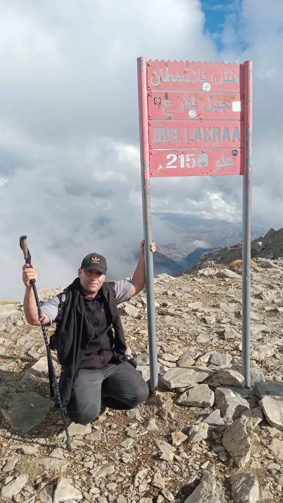
- Jbel Lakraa, roof of the western RifAt about 2159 metres, Lakraa is the highest peak of the western Rif and of Talassemtane National Park, and the highest peak of two tribes at once.
- Jbel Kelti: from Adar and from TamaloutThe highest peak of Tetouan province, surrounded by some of the most remote villages of the Beni Hassan. Here are its approaches and its neighbours.
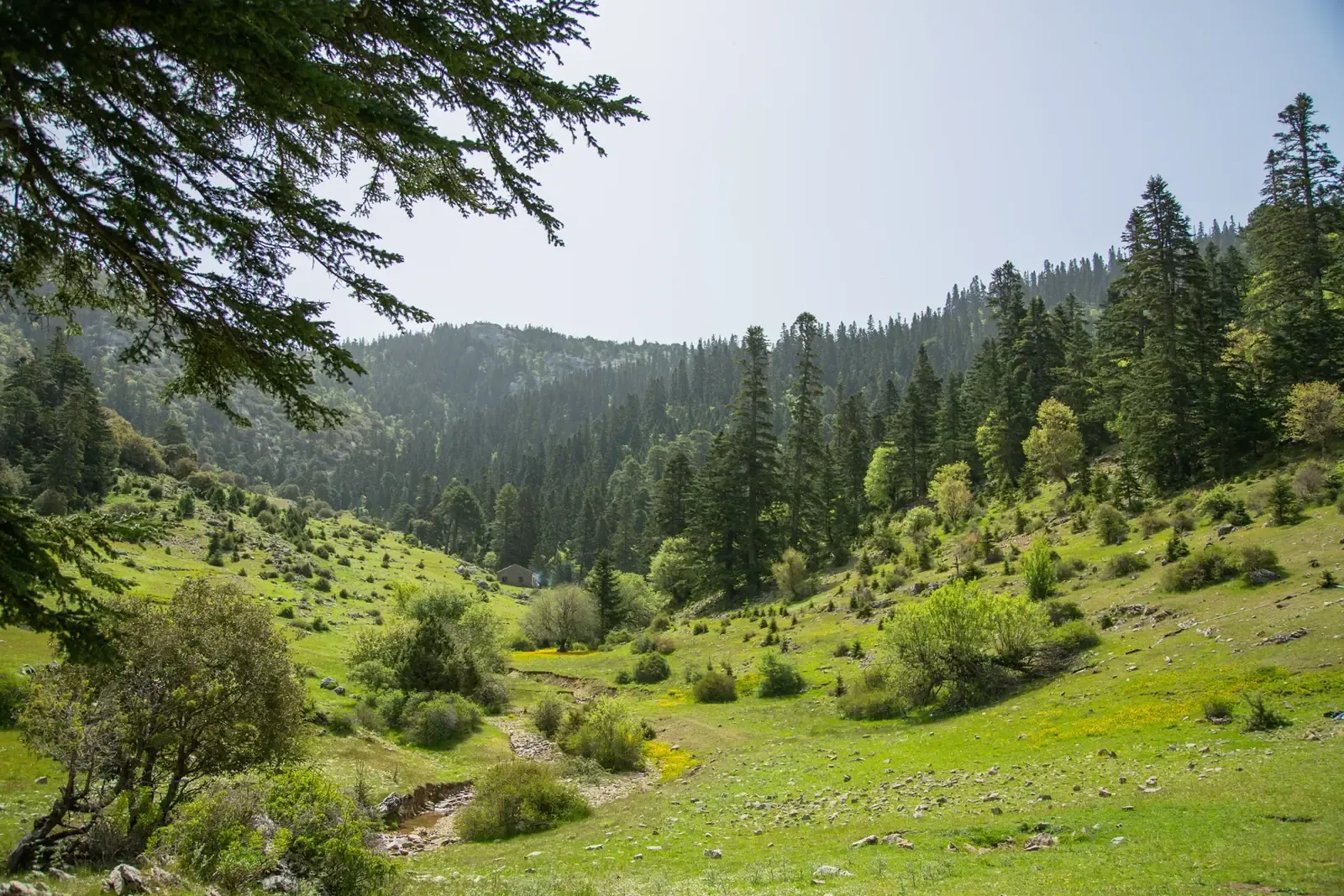
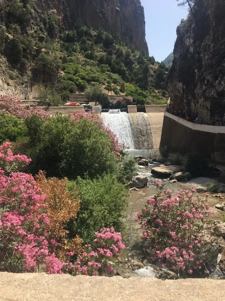
- Talassemtane National ParkThe highest peaks of the western Rif, isolated villages and a lesser-known Tetouan section: Talassemtane is bigger than its famous image.
- The mountains overlooking TetouanNo need for a long trip to walk in the mountains: four mountains surround Tetouan, with villages, springs and forests on their slopes.
Photos from the mountains
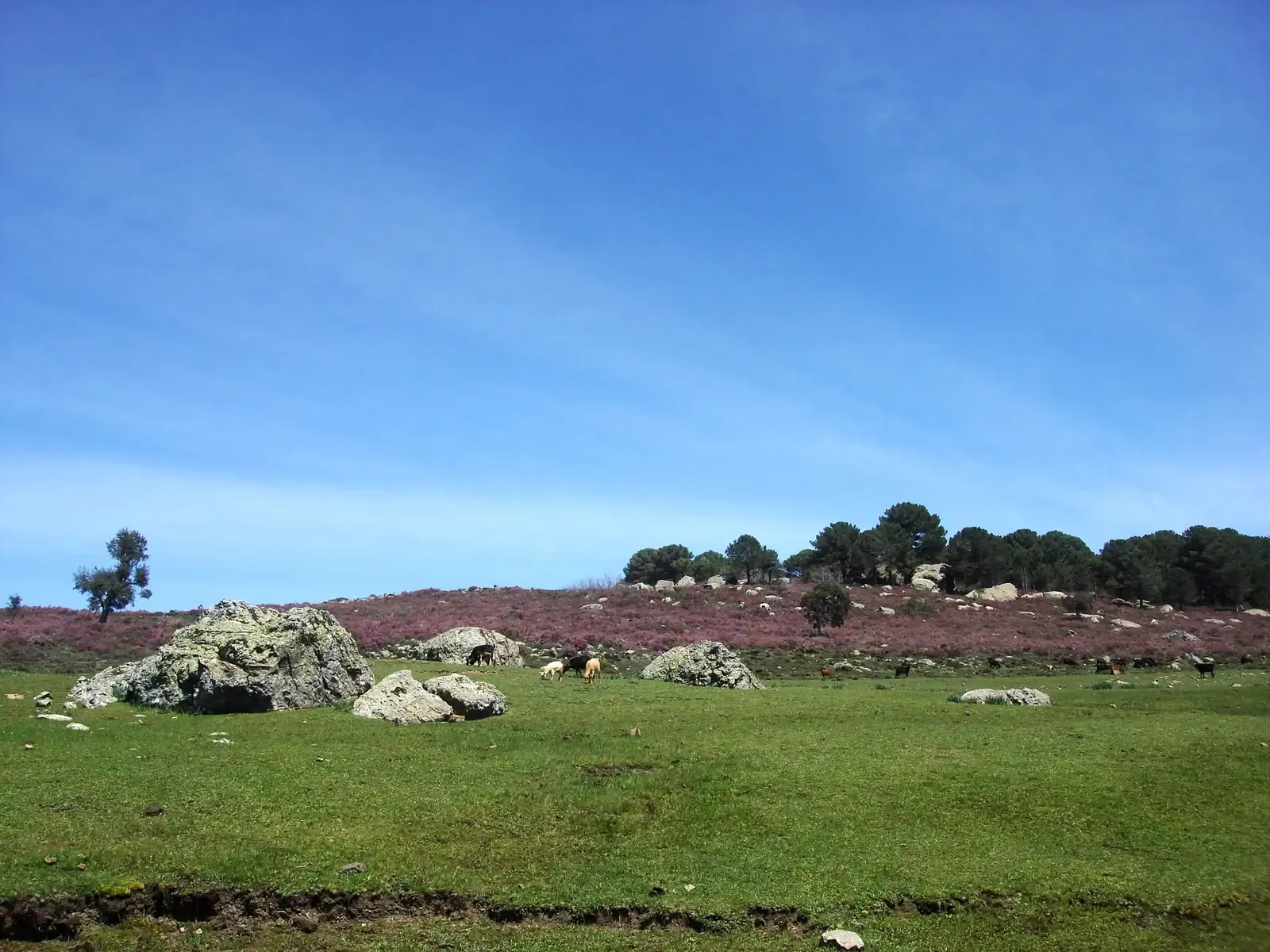
Real photos of the region's peaks and parks, some taken on guide Imad Ben Yahya's hikes.